Geography of Mudejar Spain & Portugal

Basics of Cartography: Mapping Infrastructure in the Occupied West Bank

Webinar

Summary:  This webinar will demonstrate basic geo-processing tools and cartography using open source software (QGIS) and data/shape-files to map the inadequate provision of infrastructure in the West Bank. Participants will be provided with relevant data, a live demo, and written instructions. The presentation will cover basic map-making principles and explore how to integrate map-making exercises […]

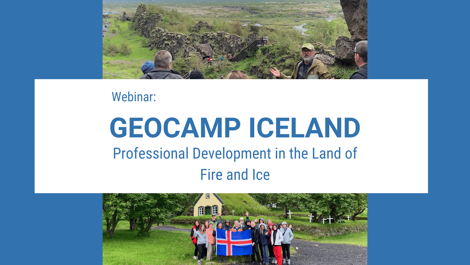
GeoCamp Iceland

Webinar

Summary This webinar introduces NCGE’s GeoCamp Iceland professional development program. Past program leaders Ellen Foster and Jeff Lash are joined by 2021 participant Debra Troxel to introduce the program, share experiences, discuss registration, and address potential GeoCamper questions Webinar Access #Open Access | JOIN WEBINAR

ESRI Map Competition

Webinar

Summary 2022-23 Competition Meetup Series A quartet of meetups (=webinars) for state leaders and educators. These are aimed at adults who want to help students participate effectively. (Hint: There are instances where you can see "the power of one," but best success "takes a village.") Meetups will be recorded and available to the public. Each […]

AP Review

Webinar

Summary In partnership with College Board, this webinar will provide strategies and ideas to help prepare your students for the AP exam. There will be McQ strategies, review of the FRQ task verbs and an overview of the exam itself. Presenters: Lisa Benton-Short, David Valdez,  and Julie Wakefield Webinar Access #Open Access | Join HERE

AP Review News You Can Use

Webinar

Summary Do you need advice on how to prepare students for the AP exam? Or do you have a great strategy you want to share? Then come to the AP REVIEW webinar question and answer session where expert teachers (insert names here) will share their strategies and offer advice on the best way to prepare […]

Teaching Food and Famine

Webinar

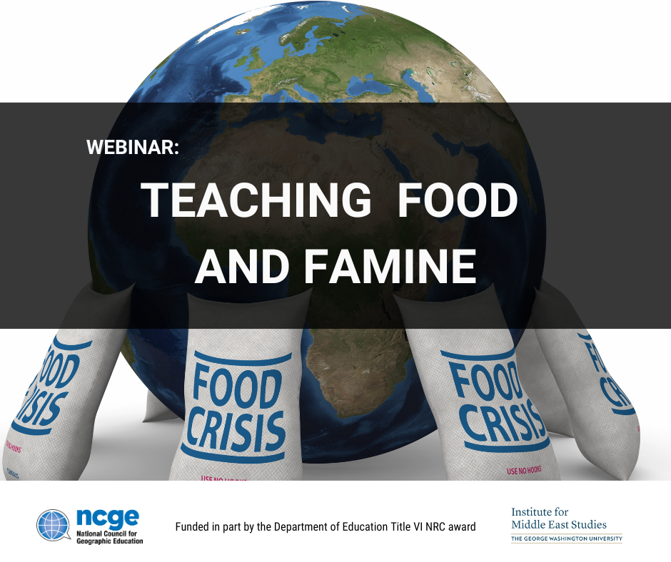
SUMMARY This seminar will offer an overview of Middle East food studies and tools for teachers to implement in the classroom. We will work with an exercise that incorporates recipes for active student learning that bridges theory and practice. Questions of nationalism, class, and gender will be at the center of our inquiry. PRESENTER INFORMATION […]

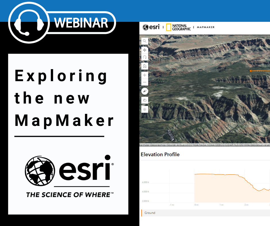
Explore the new MapMaker

Webinar

Summary Learn about the newly updated National Geographic MapMaker powered by ArcGIS Online. We’ll start at the beginning, covering the tools and a subset of data packaged within the MapMaker. All software and data used are free, accessible without login, and work on tablets and laptops. About the Presenters: Tom Baker is an education manager […]

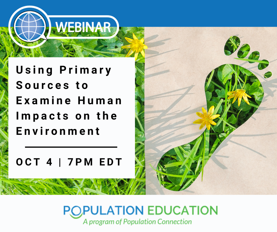
Using Primary Sources to Examine Impacts on the Environment

Webinar

Summary Looking for middle school resources to explore hot-topic issues? Want to incorporate primary sources and practice real-world data analysis? Join Barbara Huth from Population Education in this interactive webinar that jumps into analyzing current and historic sources to make sense of how people are changing the world. Start with climate change: examining a variety […]

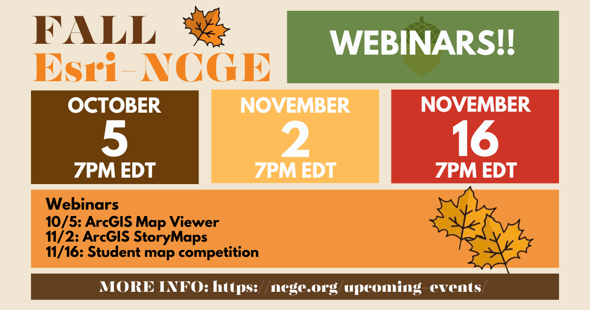
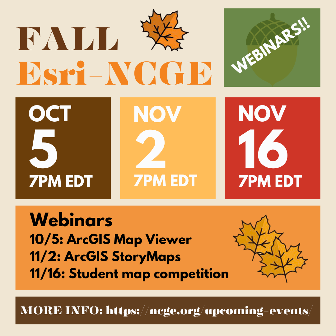
ArcGIS Map Viewer Create or Modify Maps

Webinar

Summary Are you creating storymaps? Engaging students in the Esri-NCGE student storymap competition? Then this webinar is for you!  Part of a 3-part series by Esri designed to support educators who are looking to engage their students in the world of geography.  In this webinar, Tom Baker and Charlie Fitzpatrick will discuss the map viewer […]

Creating great ArcGIS Storymaps

Webinar

Summary Do you want to teach with storymaps? Maybe you want to have students create them – even participate in competitions? Join us for this fast-paced introduction to ArcGIS Storymaps, including how to get started, latest features, and tips and tricks.  Learn how to quickly create immersive, multimedia stories with maps, narrative text, images, videos […]

Getting ready for the 2024 ArcGIS Competition for US Students (grades 6-12)

Webinar

Summary Students are building skills in geographic exploration, mapping, analysis, and presentation! The ArcGIS Online Competition for US High School and Middle School Students is a good next step: students in grades 4-12 research a topic of interest in their state and craft a StoryMap about their findings. Students can dive into a personal, custom project, enter it […]