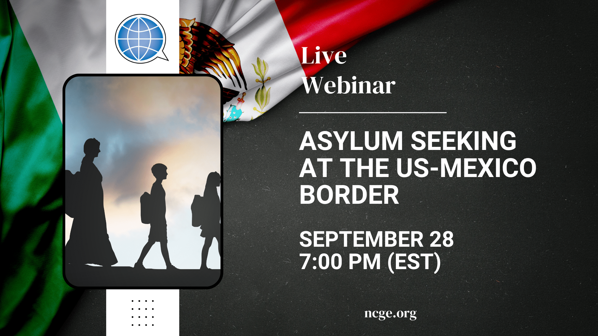
This presentation will provide an overview of who the migrants are coming to the US-Mexico border and how the demographics of this population have changed over the past decade or two. It will also discuss US asylum law and how the current asylum system excludes many Central American and Mexican asylum seekers. Presenter: Dr. Sarah […]
In this webinar OpenStreetMap will be introduced and how it can be used to engage students in and out of the classroom while building geospatial skills, social relationships, and digital citizenship. Participatory mapping includes all who wish to contribute to the mapping process. Community mapping typically is what the traditional version of participatory mapping is […]
Esri challenges US students to conduct and share a research project about something in their home state. Esri's ArcGIS Online Competition is open to high school ("HS," gr.9-12) and middle school ("MS," gr.4-8) students in participating states in the US who can gather, create, analyze, interpret, and present data via an ArcGIS StoryMap. ESRI is […]
Teaching students how to read and understand quantitative and qualitative data is a skill that must be repeated constantly and used throughout the year. Four veteran teachers of AP Human Geography share their strategies on how to teach students to efficiently learn content. Using data to provide students with constant formative feedback while also preparing […]
The 2025 NCGE Board of Director election is now open to all active members. We encourage you to review the candidate information and cast your ballot to help guide the future of NCGE. Deadline to vote is October 18, 2025 @ 11:59 PM (EDT)