Maximizing geographic inquiry: Question formulation, connecting to standards, and civic engagement

Teaching Food and Famine

Webinar

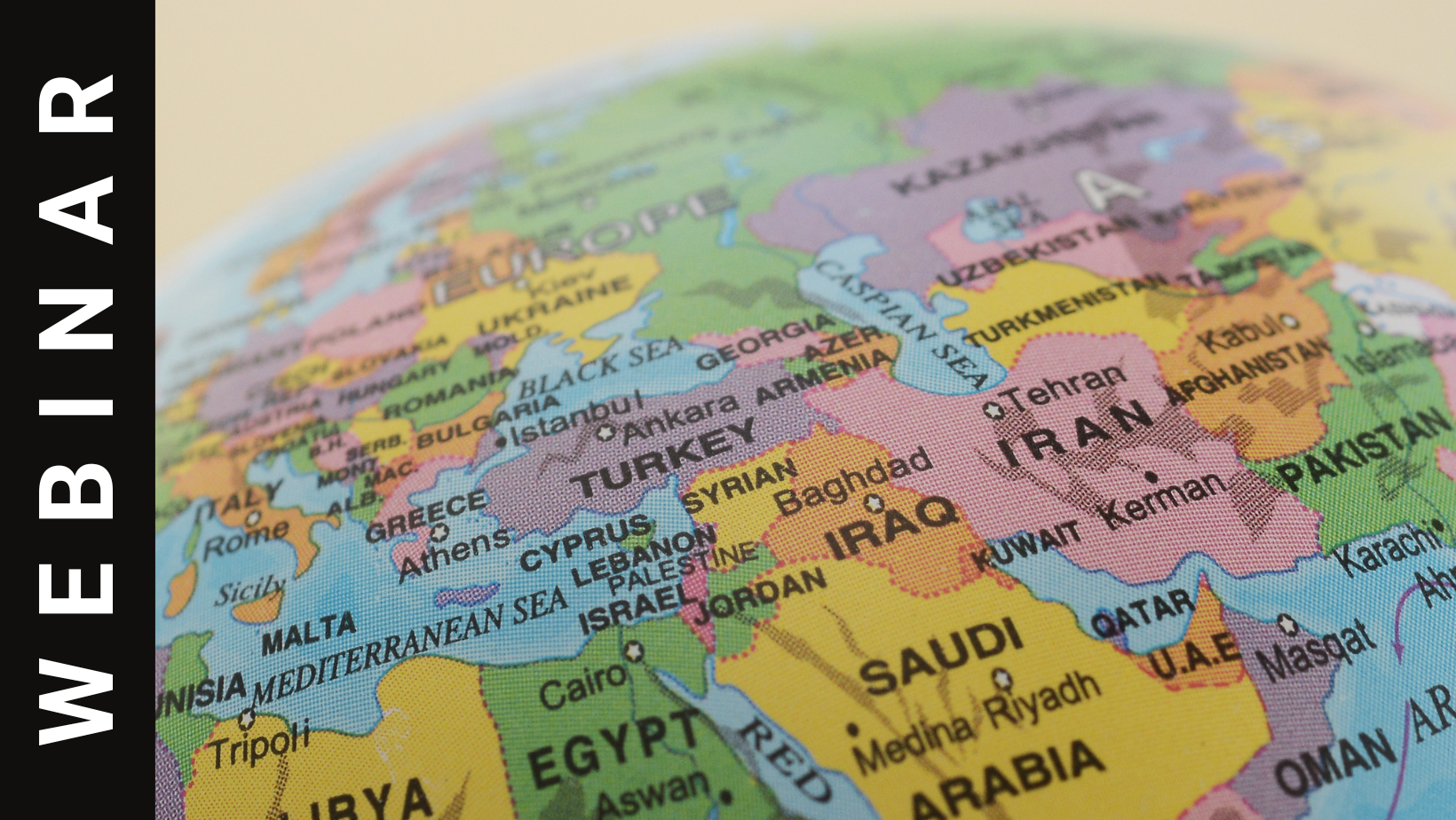
SUMMARY This seminar will offer an overview of Middle East food studies and tools for teachers to implement in the classroom. We will work with an exercise that incorporates recipes for active student learning that bridges theory and practice. Questions of nationalism, class, and gender will be at the center of our inquiry. PRESENTER INFORMATION […]

APHG Essentials: Dive into Population & Migration

Webinar

Summary Are you interested in teaching engaging lessons that “stick” with students? In this interactive webinar led by Laura Kmetz, an experienced APHG teacher and exam reader, you will have the opportunity to preview activities from Population Education that are directly correlated to APHG unit 2 population and migration and ready to use in your […]

Explore the new MapMaker

Webinar

Summary Learn about the newly updated National Geographic MapMaker powered by ArcGIS Online. We’ll start at the beginning, covering the tools and a subset of data packaged within the MapMaker. All software and data used are free, accessible without login, and work on tablets and laptops. About the Presenters: Tom Baker is an education manager […]

Using Primary Sources to Examine Impacts on the Environment

Webinar

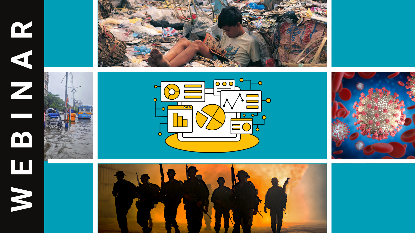
Summary Looking for middle school resources to explore hot-topic issues? Want to incorporate primary sources and practice real-world data analysis? Join Barbara Huth from Population Education in this interactive webinar that jumps into analyzing current and historic sources to make sense of how people are changing the world. Start with climate change: examining a variety […]

ArcGIS Map Viewer Create or Modify Maps

Webinar

Summary Are you creating storymaps? Engaging students in the Esri-NCGE student storymap competition? Then this webinar is for you!  Part of a 3-part series by Esri designed to support educators who are looking to engage their students in the world of geography.  In this webinar, Tom Baker and Charlie Fitzpatrick will discuss the map viewer […]

Project Based Learning in the World Geography Classroom

Webinar

Summary The goal of this session is to spark inspiration, exchange, and even debate amongst geography educators at all levels about the merits of a project-based approach to teaching world geography. Presenter Tiffany Grobelski, Assistant Professor Department of Environment, Geography, and Earth Sciences (EGE) Peace, Justice and Conflict Studies (PJCS) Gustavus Adolphus College Saint Peter, […]

From Population to Migration: Discover Geography Classroom Resources with the U.S. Census Bureau

Webinar

Summary Did you know that the U.S. Census Bureau has resources you can use in your classroom? Explore activities using real-life data from the Statistics in Schools program, covering topics such as demographic characteristics, population pyramids, environmental changes, population, and more. Join in on a conversation with a Census Bureau geography staff member and learn […]

Creating great ArcGIS Storymaps

Webinar

Summary Do you want to teach with storymaps? Maybe you want to have students create them – even participate in competitions? Join us for this fast-paced introduction to ArcGIS Storymaps, including how to get started, latest features, and tips and tricks.  Learn how to quickly create immersive, multimedia stories with maps, narrative text, images, videos […]

Urbanization Speed Dating

Webinar

Summary In this webinar participants will learn how to put together a Speed Dating Activity using terminology from the Urbanization Unit. Please note that speed dating can be used throughout every unit using the Essential Knowledge from the CED. Presenter Paula Woods, NCGE 2022 AP Distinguished Teacher Recipient. My name is Paula Woods and I […]

Getting ready for the 2024 ArcGIS Competition for US Students (grades 6-12)

Webinar

Summary Students are building skills in geographic exploration, mapping, analysis, and presentation! The ArcGIS Online Competition for US High School and Middle School Students is a good next step: students in grades 4-12 research a topic of interest in their state and craft a StoryMap about their findings. Students can dive into a personal, custom project, enter it […]

Hands-on Play Saves the Day: Play-Doh® and LEGO® in the Middle School Classroom

Webinar

Summary Students of all ages can struggle to visualize three-dimensional landscapes from two-dimensional contour maps. This engagement effort in the middle school classroom incorporated hands-on play with Play-Doh® and LEGO® to reinforce student learning about topographic maps. Students constructed three-dimensional landscapes and further learned about how topographic data can be generated with drones. Findings suggest […]

Maximizing geographic inquiry: Question formulation, connecting to standards, and civic engagement

Webinar

Summary Geographic inquiry is fundamental to our teaching and learning in geography and related disciplines, regardless of grade level. This session provides an opportunity to refine geographic inquiry to maximize student learning and engagement, with a particular focus on formulating good questions, linking to state standards, and providing pathways for civic engagement. Presenter: Alex Oberle […]