Webinar

Interactive Clickable Maps for K-12 Geography

Webinar

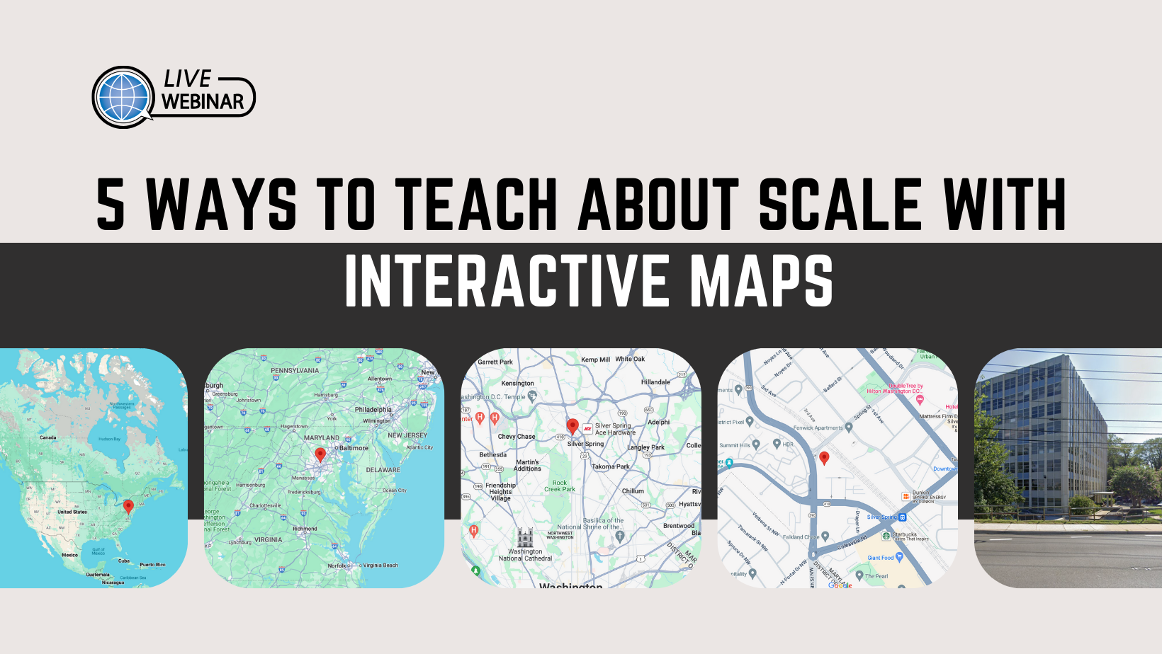
Summary Interactive (“clickable”) maps are a tool to focus student attention on just one or two selected topics at a time. Reducing distracting clutter can make it easier for students to acquire and use specific skills of spatial reasoning. Careful selection of topics can promote thoughtful inquiry in primary school and at the same time […]

Your State in 5 Maps

Webinar

Summary Harnessing the digital scholarship tools and resources of New American History, explore history, geography and civics in your own backyard through a series of digital maps and tools designed to engage students through inquiry-based learning. About the Presenter: Annie Evans is the Director of Education and Outreach for New American History at the University […]

GeoCamp Iceland

Webinar

Summary This webinar introduces NCGE’s GeoCamp Iceland professional development program. Past program leaders Ellen Foster and Jeff Lash are joined by 2021 participant Debra Troxel to introduce the program, share experiences, discuss registration, and address potential GeoCamper questions Webinar Access #Open Access | JOIN WEBINAR

Basics of Cartography: Mapping Infrastructure in the Occupied West Bank

Webinar

Summary:  This webinar will demonstrate basic geo-processing tools and cartography using open source software (QGIS) and data/shape-files to map the inadequate provision of infrastructure in the West Bank. Participants will be provided with relevant data, a live demo, and written instructions. The presentation will cover basic map-making principles and explore how to integrate map-making exercises […]

GeoCamp Amazon

Webinar

Summary  This webinar introduces NCGE’s GeoCamp Amazon professional development program. Past program leaders will introduce the program, share experiences, discuss registration, and address potential GeoCamper questions. Webinar Access #OPEN access |  JOIN HERE  

Agriculture in APHG: Making Connections to Food, Land & People

Webinar

Summary Participants in this webinar will explore free resources aligned with APHG Unit 5: Agricultural Patterns, Spatial Organization, Changes, and Impacts. These resources include classroom tested lessons and hands-on activities that are designed to connect geography to the agricultural production of food, clothing, and shelter that we depend on each day. Attendees will discuss strategies […]

Electoral Maps and Legislative Elections: Resources for teaching about redistricting

Webinar

The 2020 Census and redistricting cycle will manifest itself in the United States Congress and state legislatures across the country. Consider the analysis of the midterm elections has been in your state. Yet even though it seems as though discussions about redistricting should be over, every year new students need to learn about elections at […]

Water Politics and Environmental Justice

Webinar

Water quenches thirst, sustains crops, generates power, cools industry, conveys ships, carries waste, and maintains ecosystems. This webinar examines the political, social,  and cultural dimensions of each of these facets of water resources management. We'll explore the political dynamics of water distribution, access, and use. We also investigate questions of urban water management, river restoration, […]

GeoCamp Iceland: Professional Development in the Land of Fire and Ice

Webinar

This webinar introduces NCGE’s GeoCamp Iceland professional development program. Past program leaders Ellen Foster and Jeff Lash are joined by 2021 participant Debra Troxel to introduce the program, share experiences, discuss registration, and address potential GeoCamper questions and concerns. Presenters: Jeff Lash, Ellen Foster, and Debra Troxell   JOIN THE WEBINAR HERE! #Member-only access

Beyond Reading the Definition From a Slide: Teaching Sense of Place and Place Making

Webinar

  Geographer Yi-Fu Tuan's work focused on the human aspects of human geography. He wrote about the spatial concepts of space and place in his landmark work Space and Place: The Perspective of Experience. Learn how to guide your students in using your school as a field study to understand and evaluate a sense of […]

iScore 5 All Year Long

Webinar

Teaching students how to read and understand quantitative and qualitative data is a skill that must be repeated constantly and used throughout the year. Four veteran teachers of AP Human Geography share their strategies on how to teach students to efficiently learn content. Using data to provide students with constant formative feedback while also preparing […]

ESRI ArcGIS Online Competition-Getting Started

Webinar

Esri challenges US students to conduct and share a research project about something in their home state. Esri's ArcGIS Online Competition is open to high school ("HS," gr.9-12) and middle school ("MS," gr.4-8) students in participating states in the US who can gather, create, analyze, interpret, and present data via an ArcGIS StoryMap. ESRI is […]