Summary
State atlases are a tool to teach students about the social, cultural, and natural history and current affairs within the context of a state’s geography. Maps help students make richer connections to a subject by engaging students to connect events to an actual place. In 2024, several members of the Geographic Alliance of Iowa (GAI) decided to create a state atlas for Iowa students. Their approach included enlisting the help of members of the Iowa GIS community from the Iowa Geographic Information Council (IGIC) to help gather data and make maps for the atlas.
During this session, you will hear from the Iowa Atlas team participants about this approach’s strengths and challenges. The Iowa Atlas team will share the vision for the Iowa Atlas, our progress and hope for the future, and how we are using the Iowa Atlas to build partnerships within the geographic and education communities. To finish our time together, we would invite a discussion including seasoned state atlas creators to share their experiences, and those interested in starting or updating a state atlas to join the conversation.
Session Focus
All Grade Levels | State Atlas | Promote Geography through Partnerships | Shared Knowledge | Curriculum and Instruction
Conference Room
Nebraska
Meet the Presenters
- Thomas Larsen, Assistant Professor of Geography, University of Northern Iowa
 Amy Logan is a GIS Research Scientist at Iowa State University and the IowaView state coordinator, an AmericaView remote sensing consortium affiliate. Her work spans various areas, including geospatial education and outreach, social science research, digital storytelling, and web app development. Amy has hosted workshops on integrating GIS technologies into the classroom. She is passionate about connecting people to GIS resources to improve their work or learning.
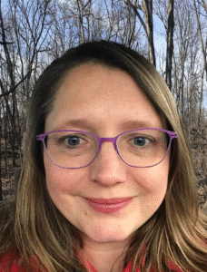
![]() Rachel Hansen (she/her) is the K-12 Education Coordinator at the State Historical Society of Iowa. Prior to her current role, she taught 7-12 social studies in public schools in Iowa for 15 years. In 2021, she was recognized by NCGE with an AP Human Geography Distinguished Teaching Award. Rachel is passionate about designing learning experiences that compel students to engage in meaningful, authentic projects within their communities. Her work focuses on storytelling through podcasts, maps, and heritage education. Rachel’s current research explores how students use spatial thinking when creating counter-maps. She received her B.A. in History from the University of Iowa and her M.A. in Geography from the University of Northern Iowa.
Rachel Hansen (she/her) is the K-12 Education Coordinator at the State Historical Society of Iowa. Prior to her current role, she taught 7-12 social studies in public schools in Iowa for 15 years. In 2021, she was recognized by NCGE with an AP Human Geography Distinguished Teaching Award. Rachel is passionate about designing learning experiences that compel students to engage in meaningful, authentic projects within their communities. Her work focuses on storytelling through podcasts, maps, and heritage education. Rachel’s current research explores how students use spatial thinking when creating counter-maps. She received her B.A. in History from the University of Iowa and her M.A. in Geography from the University of Northern Iowa.


