Overview QGIS is a free open-source mapping tool. This webinar will dive into its key elements and how to apply it in a geography classroom. Audience Focus All grade levels Meet the Presenter Jen Mapes is Assistant Professor of Geography at Kent State University, where she directs the Community Geography Lab, which makes maps for […]
Summary This workshop explores the critical role of geography in shaping agricultural production and its impact on food, clothing, and shelter. Participants will connect these concepts to the Big Ideas of AP Human Geography (APHG)—Patterns and Spatial Organization, Impacts and Interactions, and Spatial Process and Societal Change—and gain strategies for engaging students in analyzing geographic […]
Summary Earth Observation Day (EOD) is a Science, Technology, Engineering, and Mathematics (STEM) education and outreach event AmericaView participates in annually to celebrate the Landsat program. Since 1972 the Landsat program has maintained a collection of satellites that provide a continuous space-based record of the Earth’s surface and its changes. Scientists, researchers, farmers, forest managers, […]
Summary This interactive workshop introduces secondary geography educators to graphic novels as powerful pedagogical tools for teaching spatial concepts related to human migration, geopolitical borders, and transnational movement. Drawing on GW's Middle East Studies research collection curated by Dr. Amal Cavender, participants will explore how graphic narratives can transform complex geographic theories into accessible spatial […]
Summary The National Council for Geographic Education (NCGE) was founded in 1915 by George J Miller and Cora Sletten, both teacher educators at the then State Normal School in Mankato, Minnesota (today Minnesota State University, Mankato). Both taught Geography in the Social Science Division during their tenure in Mankato. While it was originally called the […]
Summary The Teaching with Primary Sources (TPS) is the premier educational program by the Library of Congress. The TPS Midwest Region at Illinois State University has helped distribute funding to over 180 unique organizations, including education networks like the Geographic Educators of Nebraska (GEON) in 2023. Across its 11 states, which span from Nebraska to […]
Summary Drones as remote sensing platforms have changed the way geographers map the world. Given the low cost and ease of use of drones, the need to educate geography students on scientifically sound and ethical use of drones has never been greater. As university geography departments develop drone courses to attract new majors and provide […]
Summary Geographic understanding is essential in academia, providing frameworks to interpret natural phenomena. Geoscience research often requires interdisciplinary collaboration and an appreciation of interconnected processes across spatial scales. However, limited research has explored how geographic methods influence scholars' research and communication strategies. This study investigates the impact of geographic thinking among graduate students in the […]
Saturday, October 18, 2025 | 8:00 AM - 4:45 PM Each lab is 45-minutes long with a 15-minute break between sessions. Esri Representatives will use training accounts on the T3G ArcGIS Online org Full Lab Schedule 8:00 - Introduction to National Geographic MapMaker Learn about MapMaker data and tools in this entry level session. Teachers […]
Summary Field data collection remains one of the most important ways to collect geographic information. An increasing number of commercial applications rely on OpenStreetMap so adding pedestrian-level detail to OpenStreetMap yields broad-based benefits for everyone in a community. Field mapping is a fun way to learn about the landscapes as well as how to collect […]
Summary Using geo-literacy skills, students can engage in learning about the Holocaust in new ways. How we map the Holocaust can both answer and raise important questions. Knowles (2024) identified five challenges of mapping the Holocaust. Among the challenges, Holocaust maps tend to represent the actions of the perpetrators, perpetuate outdated narratives of the Holocaust, […]
Summary "Students can find facts on the internet; we should focus on teaching skills." This observation is common, but it is also naive and dangerous. If students lack a framework of accurate and well-connected facts for comparison, it is hard to teach a skill of evaluating new facts for accuracy or relevance. The key word […]
Overview Teaching culture and cultural landscape is a favorite for many teachers. Learning about culture is a favorite for students. What is your favorite aspect of teaching culture? What do the students struggle with? Join us for a conversation about resources, strategies and challenges the students face. The Facilitator Carter Waterkyn Join the Session About […]
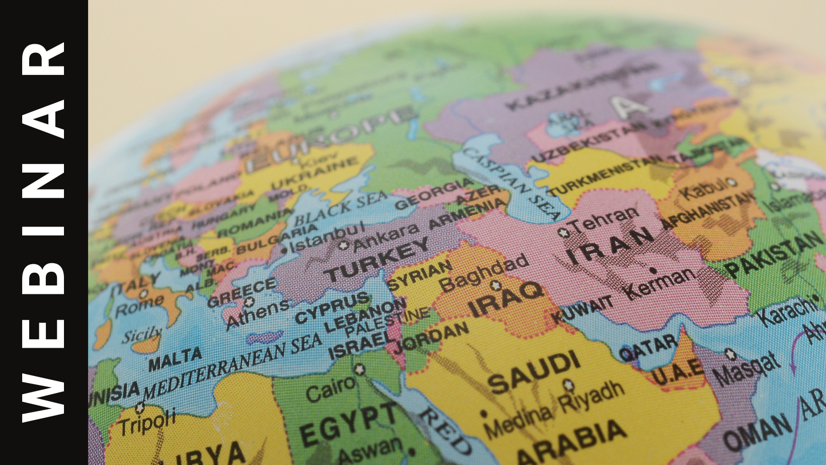
Overview This session offers teachers resources to explore the role of religion in the governments of Lebanon, Israel, Egypt, and Iran. By comparing these countries to the United States, participants will gain insights into global religious and political diversity. By examining primary source foundational documents from each country, teachers can then support student inquiry in […]