Overview
Learning about elections and representation by reading court cases and discussing state statutes is an excellent foundation for understanding how the American electoral system functions. But what will capture students’ attention so that they are prepared to participate in civic life no matter where they are living?
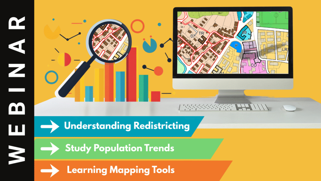
This webinar will explore how students in a high school civics class incorporated historic information about population change, prioritizing electoral district criteria, descriptions of their own communities, and geospatial technology tools for constructing state congressional districts to gain additional insight into how electoral districting works. They have a better sense of the differences between redistricting and gerrymandering, why it is important to have transparency in the redistricting process, and how they can contribute by advocating for their community’s needs. Theobald at the University of Colorado Colorado Springs will share GeoCivics resources and provide background on the teachers’ perspective as they guided students through hands-on and online activities as part of students’ study of civics.
Audience Focus
High School
Meet the Presenter
Rebecca Theobald is an Associate Research Professor in the Geography and Environmental Studies Department at the University of Colorado Colorado Springs. She directs GeoCivics, asking geographic questions to address electoral redistricting and emphasizing the role geospatial technology plays in drawing districts. From 2008 through 2018, she served as coordinator of the Colorado Geographic Alliance, part of National Geographic Network of Alliances for Geographic Education, providing professional development for teachers across Colorado. She edited National Council for Geographic Education’s journal, “The Geography Teacher”, from 2016 to 2024.
Access the Webinar
#member only access | Join Webinar Here
Not yet a member? More info and Join today!