
Summary
Computer mapping using GIS (Geographic Information Systems) has become the way all modern maps are made, and GIS has become much more accessible and easier to use. This session introduces a new interactive GIS atlas of Maryland designed to support geographic learning through inquiry and spatial thinking. Developed for middle school and high school classrooms, “My Maryland” provides students and teachers with a set of thematic maps focused on Maryland’s unique human and physical geography. Embedded with geospatial tools, the atlas includes map layers that highlight Maryland’s demographics, history, elections, infrastructure, and physical environment. Participants will explore the atlas to formulate geographic questions, analyze maps, and communicate claims based on evidence. In addition, opportunities for interdisciplinary connections and civic engagement will be offered. The session closes with a discussion of how to get started with creating a GIS atlas for your state.
Session Focus
Middle School/Junior High | Geospatial Technology | U.S. Focused
Conference Room
Byrd
Meet the Presenter
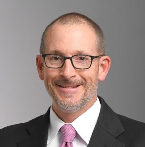 Todd Kenreich is a professor of secondary and middle school education at Towson University in Maryland, and he is the co-director of the Maryland Geographic Alliance.
His interests chiefly lie in the areas of geography education and global citizenship education. With a range of international experiences, Kenreich seeks to prepare cosmopolitan teachers who can help their students more deeply understand the world and their community. At Towson, he directs Global Citizenship in Education, a graduate certificate program for teachers. In 2008, he was named a U.S. Fulbright Scholar in Japan. He has published articles in journals such as Theory and Research in Social Education, Journal of Geography, The Geography Teacher, and Social Studies Research and Practice. He edited Geography and Social Justice in the Classroom, a volume for the Routledge Research in Education book series.
Dr. Brandon J. Beck is an Assistant Professor of Secondary Social Studies and Africana Studies Affiliate Faculty at UMBC. After earning his Ph.D. from Clemson University in 2025, he joined UMBC to teach courses in social studies foundations and preservice teacher preparation. His research explores the history of Black education, community- based pedagogies, and the use of oral histories to foster reparative social justice. As a social studies education and history of Black education scholar, Dr. Beck draws on his experience as a former middle school department chair to advocate for culturally sustainable classrooms.
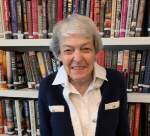 Cathy Cooper earned an M.A. in geography at The George Washington University, and then a Ph.D. in geography education from Texas State University. In 2009-2010, she served as a Grosvenor Scholar. For four years, she coordinated “Mapping Maryland,” an annual student map competition. Now she enjoys living in a retirement community in Easton, Maryland. The Eastern Shore provides many occasions and entertainments as well as enjoyable opportunities to practice “geographic exercises” around both physical and cultural lessons. She points out to friends the opportunities of being aware of “thinking geographically.” She enjoys reading articles in the NCGE journals as well as re-reading around some favorite chapters of geographers’ books. She enjoys the study of geography and enjoys sharing observations whether near at hand or farther afield.
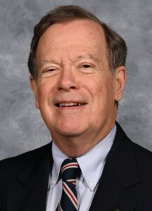 Martin Schmidt teaches science at the McDonogh School in Owings Mills, Maryland. He developed an interest in GIS in his work since 1978 as a science teacher, and realized computer mapping is also an excellent tool for geography, social studies, and other disciplines. He helps teachers of any subject develop maps they can use with their students, and learn skills to create exactly the maps they want to engage students in studying our fascinating and varied Earth.